
Description
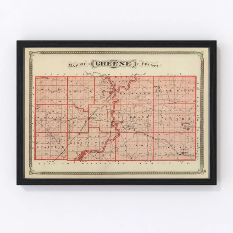
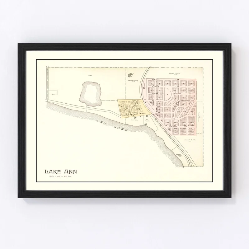
Discover a piece of the past with this beautifully restored 1876 map of Greene County, Indiana. It’s not just an ordinary map; it’s a snapshot of history, highlighting towns such as Bloomfield, Linton, and Jasonville. Whether you’re a history enthusiast or simply love unique decor, this print is the perfect blend of tradition and style.
Our prints are crafted with care using high-quality materials that stand out in any room. The rich detail captured on either polycotton canvas or matte paper showcases the elegance and historical charm inherent in vintage maps. Perfect for gifting to loved ones who appreciate local lore or adding character to your home or office space.
All our pieces come ready to hang right out of the box—mount them easily whether you opt for our handcrafted solid wood frames or prefer an unframed look. This conversation starter brings together quality craftsmanship and timeless appeal in one stunning package.
Reviews
There are no reviews yet.