
Description
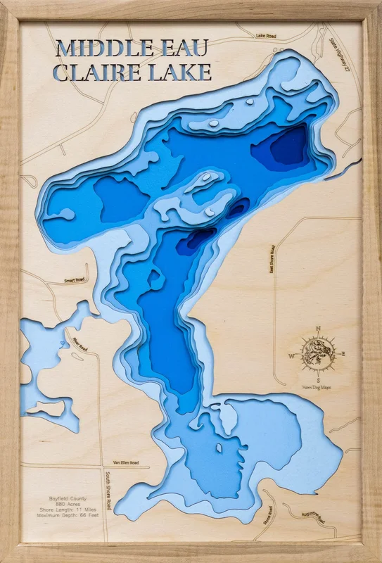
Middle Eau Claire Lake in Bayfield County, Wisconsin
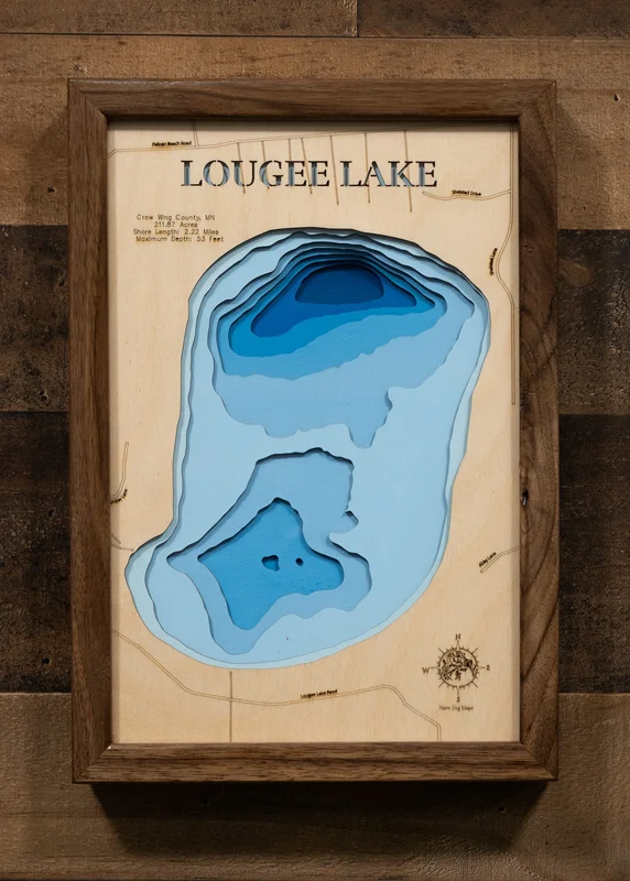
This map has 8 layers
Middle Eau Claire Lake is a 922-acre lake in Bayfield County, Wisconsin, reaching a maximum depth of 47 feet. The lake supports excellent fishing for Muskie, Walleye, Largemouth and Smallmouth Bass, Northern Pike, and Panfish in the heart of Wisconsin’s northern lake country. It is part of the Eau Claire Lakes chain, one of the most popular lake systems in Bayfield County.
Middle Eau Claire Lake is located in Bayfield County near the community of Cable, famous as the starting point of the American Birkebeiner — North America’s largest cross-country ski race — and a hub for mountain biking on the CAMBA trail system. The Chequamegon-Nicolet National Forest and the Apostle Islands National Lakeshore on Lake Superior are also nearby.
A laser-cut wooden map or 3D carved cribbage board of Middle Eau Claire Lake makes a beautiful piece of wall art and a perfect gift for Bayfield County lake enthusiasts and Wisconsin Northwoods outdoors lovers. The natural wood top layer captures the lake’s shoreline in precise detail, while the light-to-dark blue gradient water layers bring the depth and beauty of this northern Wisconsin gem into any home or cabin.
Dimensions:
Small: 8″x12″
Medium: 12″x18″
Large: 16″x24″
Extra Large: 20″x30″
XX Large: 24″x36″
Gigantic 30″x45″
HD Extra Large: 20″x30″ – 15 Layers
HD XX Large: 24″x36″ – 15 Layers
HD Gigantic 30″x45″ – 15 Layers
The difference between standard and HD maps is the number of layers. Standard maps have 1 land layer and 7 water layers. “The HD lake maps have 1 land layer and 14 water layers. So twice the detail. The HD Maps are limited to Extra Large, “XX Large, and Gigantic sizes only. On the smaller sizes the depth change of the wood is too extreme and you end up losing detail.
Cribbage Boards – 10″x14″ – Your choice of Maple or Cherry wood, 2 or 3 runs, and your choice of peg colors.
Reviews
There are no reviews yet.