
Description
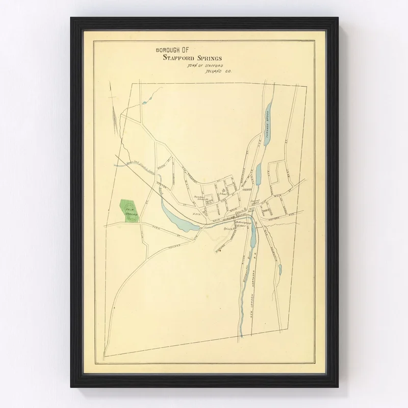
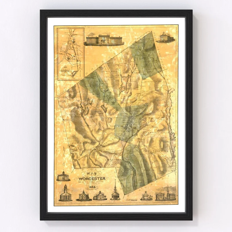
Discover a piece of history with our digitally restored 1893 vintage map of Stafford Springs, nestled in Tolland County, Connecticut. This charming relic offers more than just aesthetic appeal; it’s a window into the past that celebrates local history, making it an ideal gift for history buffs and map enthusiasts alike.
Whether you’re sprucing up your living space or adding flair to your office, this traditional map seamlessly fits into any decor style. Every detail is crafted with care — from the solid wood frames stained to perfection to the elegant polycotton canvases stretched on sturdy wooden bars. If you prefer unframed prints, they are presented on high-quality matte paper that promises durability and clarity.
Our maps come ready to hang straight out of the box so you can enjoy reminiscing about Stafford Springs without delay. Share stories inspired by this map as a conversation starter at gatherings or simply bask in its timeless beauty every day.
Reviews
There are no reviews yet.