
Description
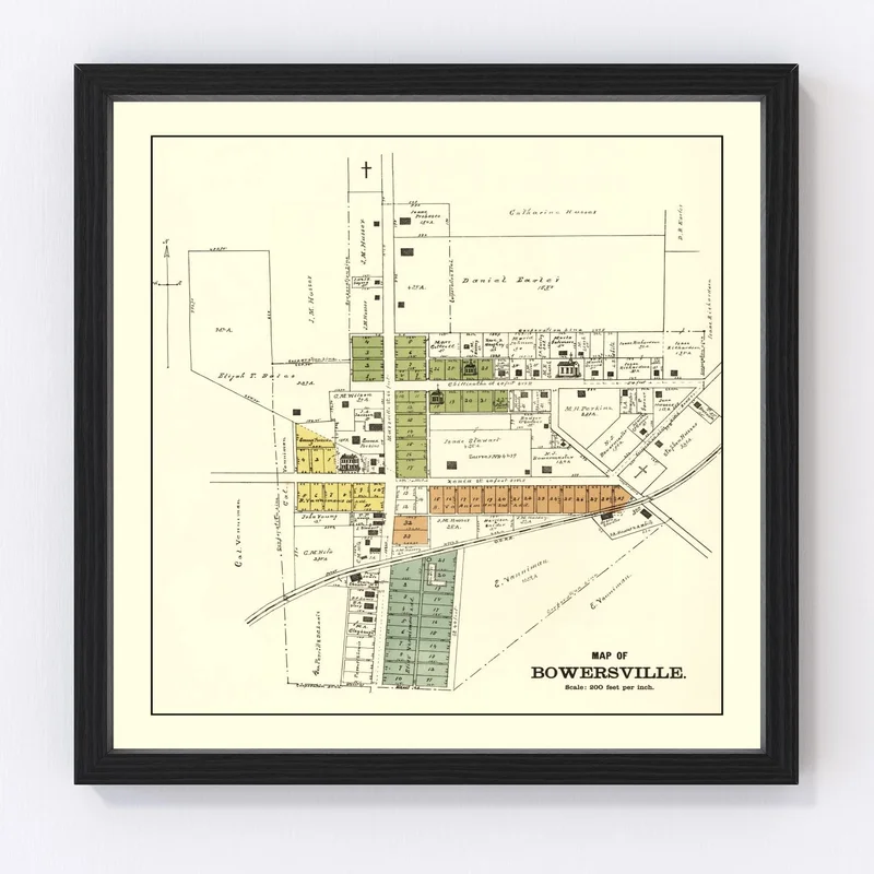
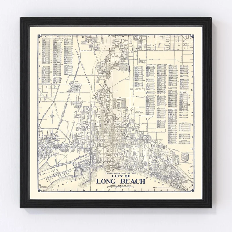
Step back in time with this meticulously restored 1896 map of Bowersville, nestled in Greene County, Ohio. Lovingly brought to life through our digital restoration process, this piece bridges the charm of the past with modern craftsmanship. Whether you’re a local history enthusiast or searching for a unique gift, this map offers a glimpse into the bygone days of United States cartography.
The exceptional quality materials used ensure it lasts for years to come. Frames are crafted from solid wood and beautifully stained by hand, adding a touch of tradition to your space. If you prefer canvas, each piece is carefully handmade using polycotton canvas on sturdy wood stretcher bars—a testament to craftsmanship and care.
Hang it proudly in your home or office as an intriguing conversation starter that honors local heritage while enhancing classic decor themes. Each print is ready to hang right out of the box—there’s no need for extra fussing over installation.
Reviews
There are no reviews yet.